



Geography
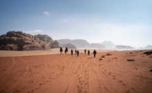
Pakistan’s 881,913 square kilometres are made up of river
plains, deserts, mountains and arid plateaus, making it a country of geographical
extremes. With the mountain ranges of the Karakoram, Himalaya and
Hindukush to the north, Iran and Afghanistan to the north west, India to the east and the Arabian Sea to the south. Pakistan is officially divided into the four main provinces of Balochistan, Punjab, Sindh and Khyber Pakhtunkhwa. In addition, there are three official territories. The Islamabad
Capital Territory is the federal capital area whilst Gilgit-Baltistan and Azad Jammu
and Kashmir are self-governing territories in the north of the country.
Pakistan sits at a crucial geological intersection,
overlapping both the Indian and Eurasian tectonic plates. The provinces of
Sindh and Punjab are situated on the north western edge of the Indian plate. In
contrast, Balochistan, Gilgit-Baltistan and the majority of Khyber Paktunkhwa
rest of the Eurasian plate, a region primarily defined by the Iranian Plateau
and the northern Tibetan Plateau. Pakistan can be broadly broken down into
three main geographic regions: the northern highlands, the Balochistan Plateau
and the Indus River plain. The nation is most easily visualised using two
imaginary lines. An east-west boundary extending from the Khyber Pass delineates
the northern highlands, while a diagonal axis running southwest from Islamabad
separates the western Balochistan Plateau from the fertile Indus Plain to the
east.
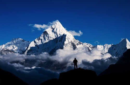
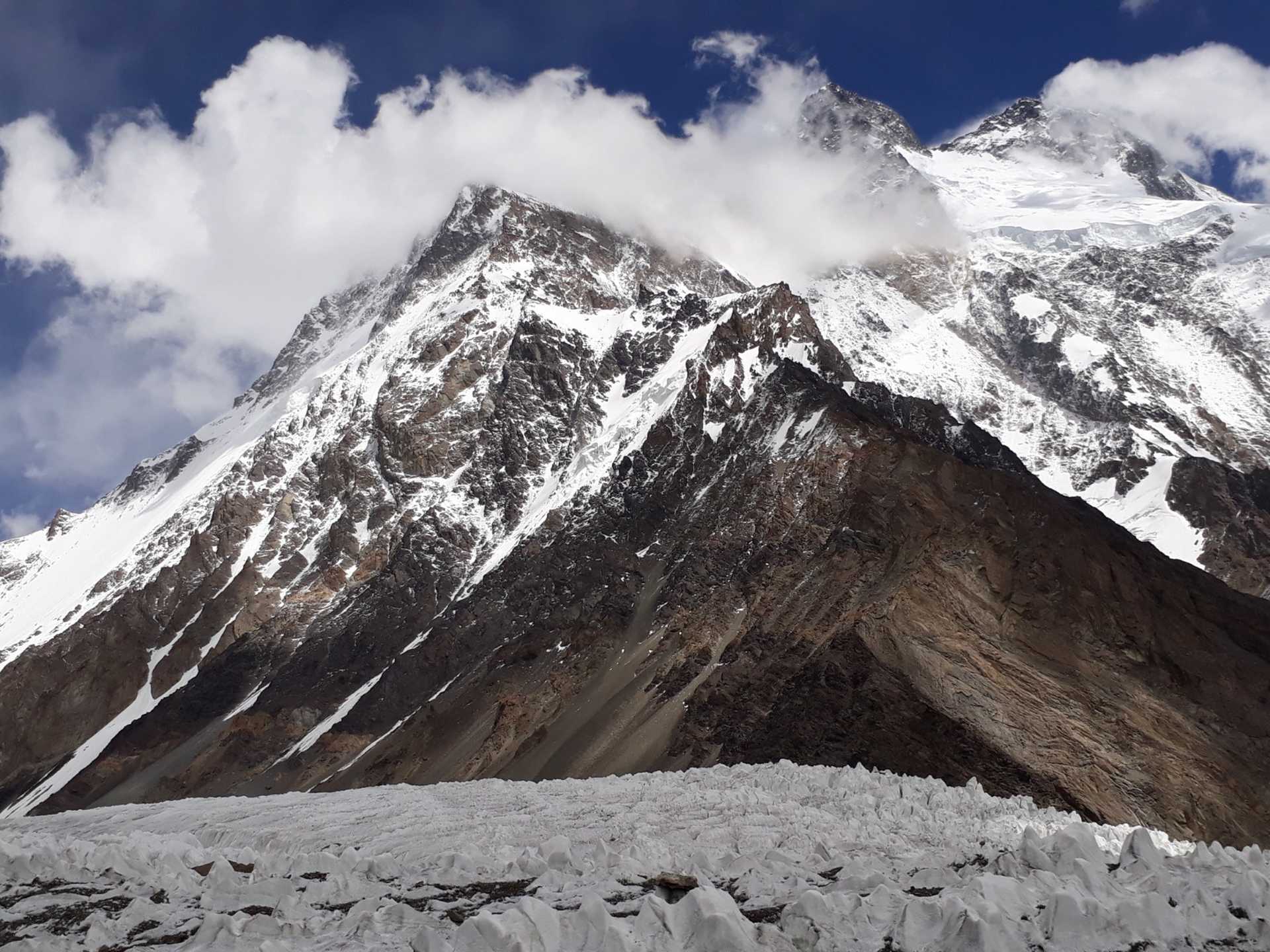
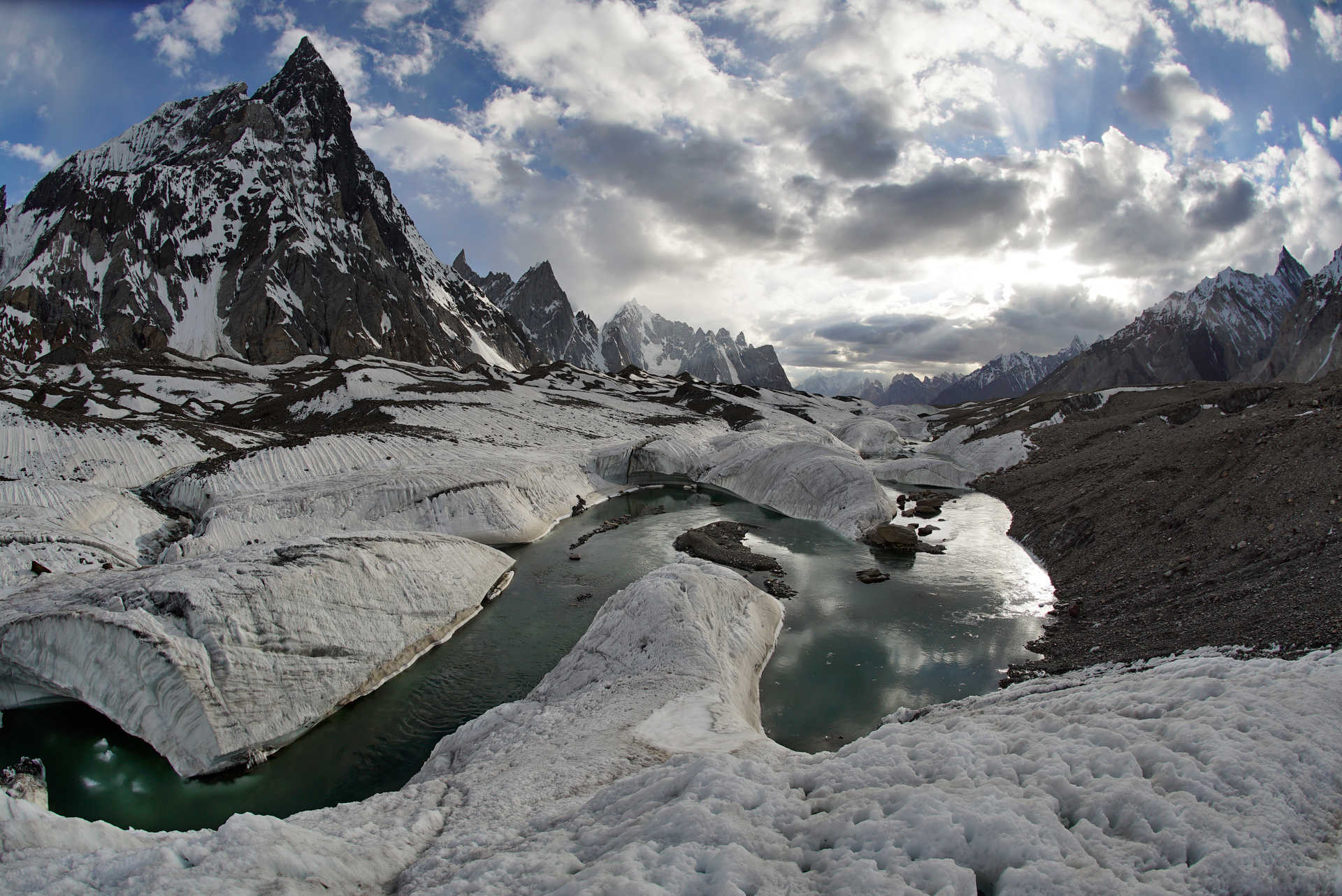
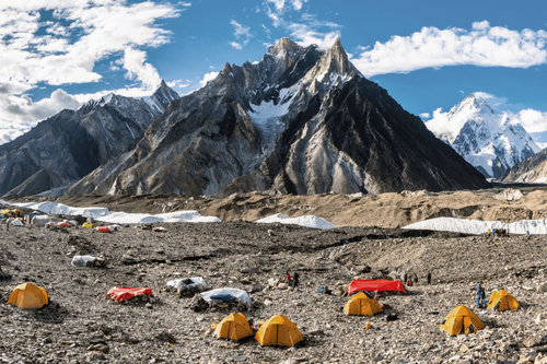
The mountains ranges of the northern highlands include K2
(8611m), the second highest mountain in the world and over fifty percent of the
mountains in this area are over 4500m in height. Travel through this part of
Pakistan is difficult to the rugged terrain and can often be dangerous as
the landscape here is subject to extremes of temperature and ever shifting
glaciers. Balochistan sits on the eastern edge of the Iranian plateau.
Although geographically the largest of the country’s four official provinces
and occupying forty eight percent of the total land area of Pakistan, much of
the mountainous region is inhospitable and the population remains low. In contrast, the Indus plain is incredibly fertile, thanks
to the Indus River. Widely considered one of the world’s most significant river
systems, the Indus River begins in southwestern Tibet and flows through India
before reaching the Punjab province and the vast Indus basin.