Hiking in the Grandes Rousses massif

Alps Travel Guide

Practical information

07:26:45
Language(s)
French
Currency
Euro
Time zone
GMT +2

Time Zone

The time zone in France is GMT +1

Languages

French

The language in France is French

Useful Phrases

  • Bonjour - Hello, Good morning
  • Au revoir - Goodbye
  • Oui - Yes
  • Non - No
  • Merci - Thank you
  • Merci beaucoup - Thank you very much
  • Fille - Girl
  • Garçon - Boy

Currency

Euro

The currency in France is the Euro (EUR).

For the latest exchange rates visit www.xe.com


ATM machines are available in Geneva and Chamonix but you will not be able to withdraw currency once you are in the mountains. Mountain huts may not accept credit / debit cards so it is advisable to carry some cash with you whilst trekking. 

USD
EUR

Electricity

For hiking in France there are two plug types: type C and type E. For Switzerland there are also two plug types: type C and type J. For Italy there are three plug types: type C, type F and type L. The good news is that a type C plug will work in all of the other sockets, so this is the best adaptor to take. Try to buy an adapter with a narrow hexagonal plug rather than a round plug, as this will fit the type J socket.  

All three countries operate on a 230V supply voltage and 50Hz.

Weather

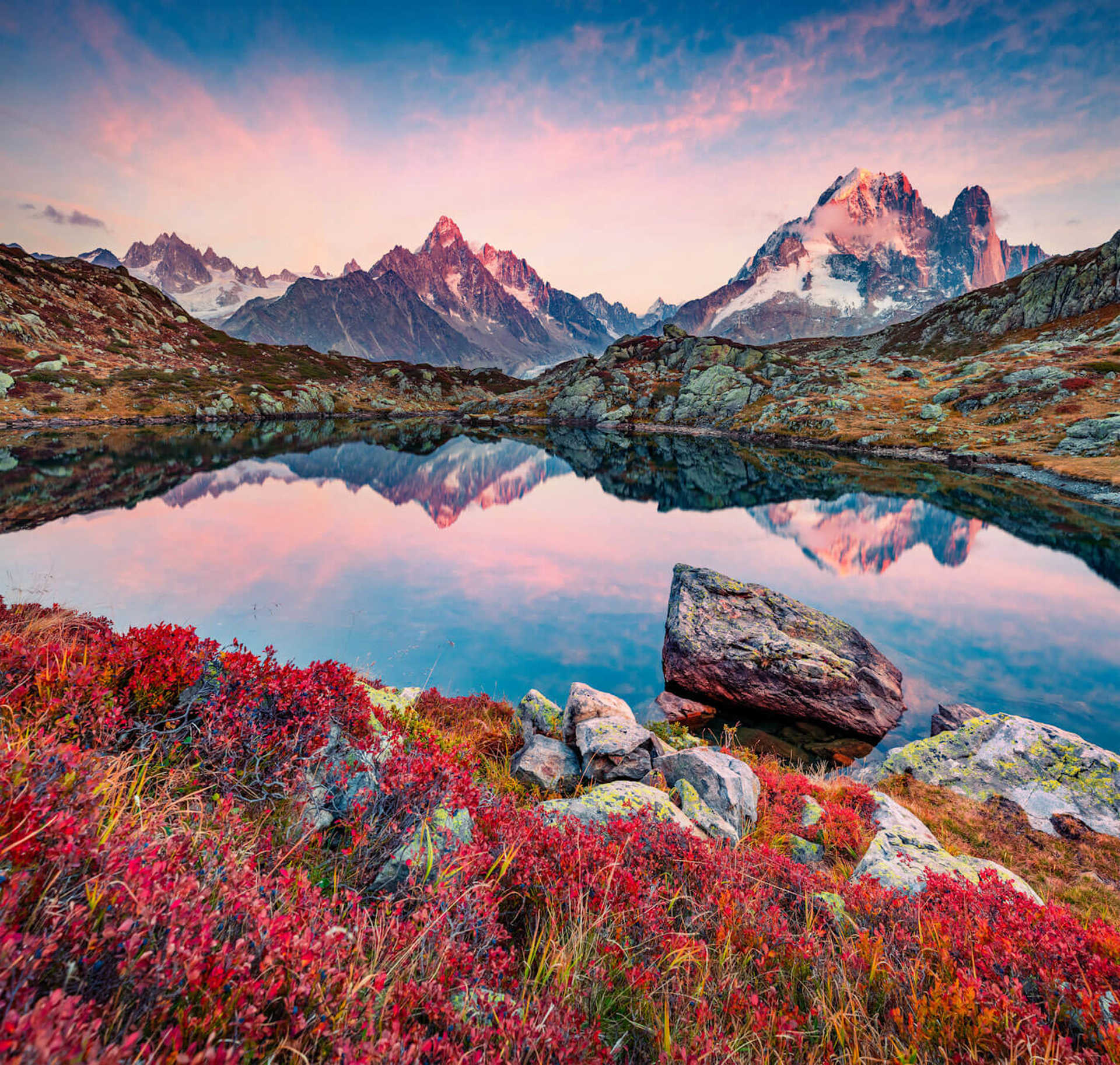
Summer hiking weather in the Alps, whether you're in Courmayeur, Switzerland or the Mont Blanc Range, is generally very pleasant. While you may walk in short sleeves under sunny skies on some days, we can almost certainly guarantee that there will also be some days that are cool and wet, especially at higher elevations. The mountains create a rain shadow. Temperatures can range from 4 °C at night to 26 °C during the day. Hikers can expect daytime temperatures around 21 °C in the valleys and 15 °C above 8000 feet—although it's not uncommon to have freezing rain or snow on the high trail one day, and T-shirt weather at the 9500-foot pass the next.

As for seasonality, the Alps are ideal for hiking or alpinism from mid-June through mid-September, with the high passes often snowbound until early July. We typically schedule our first  trips around the first week of June and finish by mid September. Wildflowers on the Tour du Mont Blanc are at their peak in late July and early August, and even earlier in Italy.

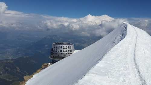
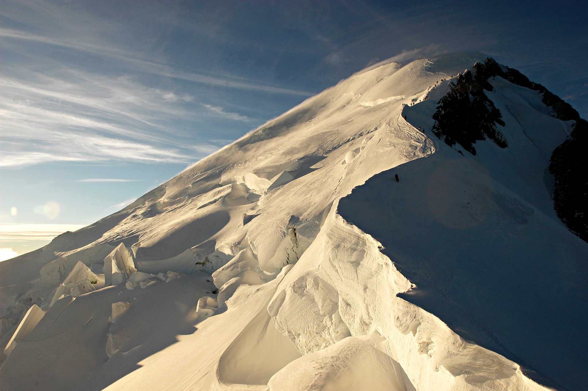
Normal route to climb Mont Blanc

Geography

The Alps are the largest mountain range in western Europe and stretch for approximately 1200km through France, Switzerland, Italy, Liechtenstein, Austria, Germany, Slovenia and Monaco. The highest peak in the range is Mont Blanc (4810m) which sits on the border of France and Italy. The range contains 128 peaks over 4000m above sea level.

The Alps were formed tens of millions of years ago by the collision of the African and Eurasian tectonic plates. Sedimentary rock from the ocean floor was forced upwards to form the mountains we see today. Many of the peaks are comprised of a mix of rock from Africa, Europe and the ocean floor, mixed together as the land masses collided and folded over. The Alps are often divided into two sections, the western Alps and Eastern Alps. The western Alps are higher while the eastern range is much longer and broader.  

Our blog