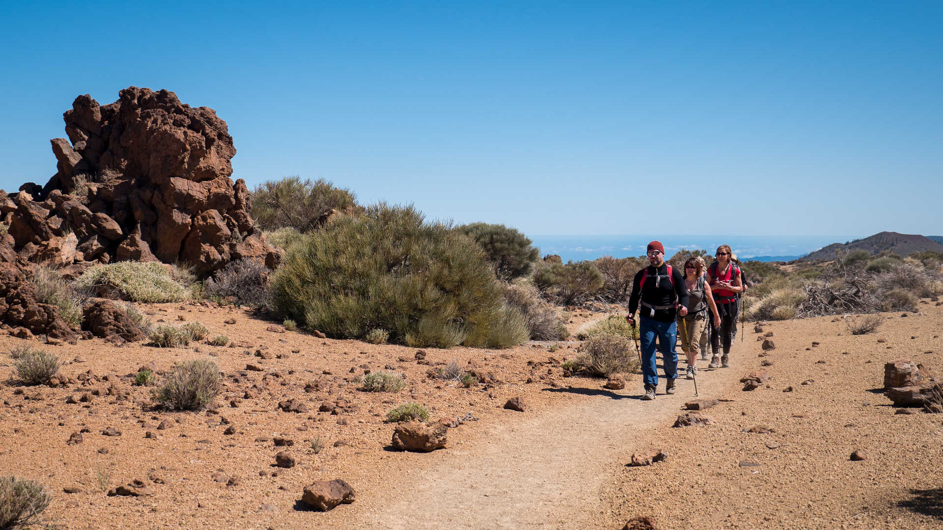
Hiking in the Teide National Park, Tenerife Island

Canary Islands Travel Guide

Practical information

16:49:23
Language(s)
Spanish
Currency
Euro
Time zone
GMT +1

Time Zone

The time zone on the Canary Islands is GMT.

Languages

Spanish

The official language of the Canary Islands is Spanish
On the island of La Gomera a whistling language know as Silbo Gomero still survives. Used by the inhabitants of the island to communicate across the deep valleys and ravines. 

Useful Phrases

  • Hola – Hello
  • Buenos días – Good morning
  • Buenas tardes – Good afternoon
  • Buenas noches – Good evening
  • Adiós – Goodbye
  • Hasta luego – See you later
  • Hasta mañana – See you tomorrow
  • Buenas noches – Good night
  • Qué tal? – How are you?
  • Estoy estupendo – I am great
  • Estoy mal – I feel unwell
  • Estoy un poco cansado – I am a little tired
  • Estoy exhausto – I am exhausted
  • Estoy enfermo – I am sick
  • Cuál es su nombre? – What is your name?
  • Mi nombre es… – My name is…

Currency

Euro

The currency on the Canary Islands is the Euro (EUR). For the latest exchange rates please see www.xe.com

It is possible to withdraw cash from ATMs on the island but please be mindful of any charges from your bank.

Credit cards are widely accepted in the towns but not in remote areas. Please budget for drinks, souvenirs and any meals not included in your tour.   
GBP
EUR

Electricity

220V 55Hz – Standard European two prong plug

Weather

As on many islands, the climate is surprisingly variable from one area to another. The north of Tenerife is very green with high humidity and a slightly cooler temperature. This is due to the trade winds that blow constantly from the north east, bringing warm air that forms clouds when it hits the mountains. The landscape in the south of the island is more arid and the air is hot and dry.

By the sea, the average temperature is 22°C but with altitude, the temperature drops quickly. Above 300m the average temperature is between 16 and 21°C. Between 600 and 1500m, the average temperature is between 12 and 16°C. Above 2000m the temperature can drop below zero and it is not unusual to see snow on the higher peaks of Tenerife and La Palma.


Rain is most common on the northern and eastern sides of the islands and much less common in southern and western facing areas. From October through to February you can expect rain at any time. In March, April and September it is much less likely to rain. In June, July and August it does not rain at all.  
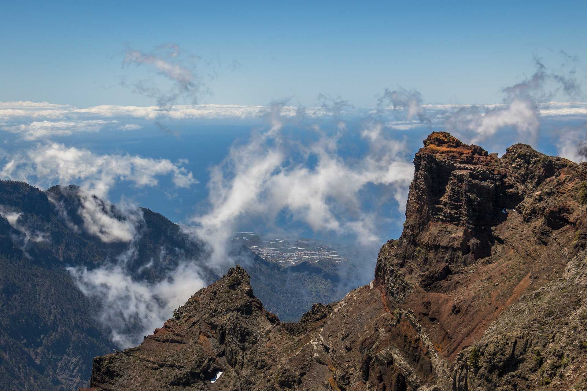
Roque de los Muchachos, La Palma

Geography

The Canary Islands are located in the Atlantic Ocean 100km off the coastline of Morocco. Along with the Azores, Madeira, Cape Verde and the Wild Islands, the area is known as Macaronesia. All of Macaronesia is characterized by the volcanic origin of its islands and similarities can be observed with regard to the influence of the trade winds on the climate of the islands.

With an altitude range from 0m right up to 3718m, the Canary Islands have a great variety of microclimates and huge biological diversity. There are 1400 plant species, 200 of which are endemic. At 200 to 600m of altitude you will see junipers, dragon trees and palms flourishing. At 500 to 1000m there are laurel forests, ferns and holly bushes. The vast pine forests of Tenerife can be found at 800 – 2000m above sea level and on the summits, where the temperatures are extreme and the solar radiation high, Teide violets, buglosses and brooms can be spotted.

Endemic fauna to look out for while you explore the Canary Islands includes the Atlantic Canary, Tenerife Blue Chaffinch, Canary Big-eared Bat, Giant Canary Lizard and many more.